
Marine Vessel Positioning Solutions
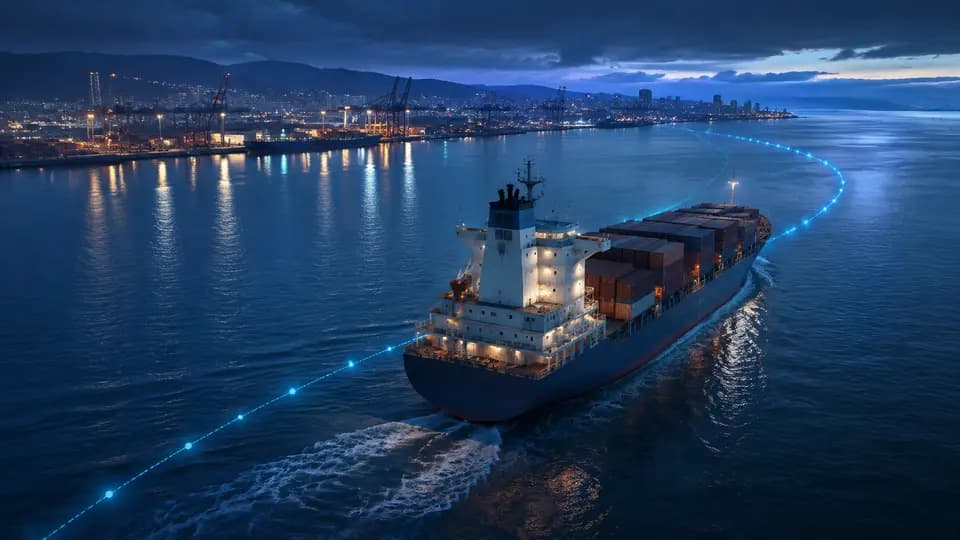
Vessels navigating in ports, inland waterways, lakes, and coastal areas frequently change position, making it difficult to continuously monitor their movements using traditional manual communication methods. For fishing vessels, yachts, engineering vessels, cargo ships, and port operation vessels, GPS positioning enables vessel owners and management companies to promptly track real-time location, navigation routes, and anchorage status.
Shenzhen Huiwen Xinglian Technology Co., Ltd.Shenzhen Huiwen Xinglian Technology Co., Ltd.— a company operating theFOFNbrand — provides GPS positioning, route tracking, and remote management solutions for small- and medium-sized marine vessels.
The FOFN Marine GPS Tracker acquires vessel position data via GNSS satellite systems including GPS and BeiDou, and transmits this data in real time to a management platform or the customer’s private server over 4G/LTE networks where cellular coverage is available. Authorized personnel can monitor real-time vessel location, speed, historical routes, anchorage duration, and device status from PCs or mobile devices.
Real-Time Positioning & Route Tracking
Once installed, the GPS positioning device enables instant access to the vessel’s current location and the timestamp of the most recent fix.
The platform also stores historical navigation routes, facilitating review of departure/arrival times, transit zones, anchorage locations, and return-to-port timing — supporting efficient vessel scheduling and voyage recordkeeping.
Geofencing & Anomaly Detection
Enterprises can define geofences around ports, docks, fishing zones, operational areas, or anchorage zones.
The system logs entry or exit events when a vessel crosses a designated boundary. For long-term berthed or leased vessels, positional changes can further assist in identifying unauthorized or anomalous movement.
4G Connectivity & Offline Data Handling
GPS/GNSS positioning itself does not require 4G connectivity; however, real-time data transmission depends on a working communication network.
In ports, inland waterways, and coastal regions with cellular coverage, 4G-enabled GPS trackers are recommended. Depending on device capabilities, location data can be stored locally during temporary network outages and automatically uploaded upon reconnection — ensuring complete historical route reconstruction. For offshore and deep-sea applications, satellite communication solutions must be evaluated based on actual connectivity requirements.
Applicable Scenarios
The FOFN marine positioning solution is suitable for fishing vessels, yachts, engineering vessels, port workboats, inland cargo vessels, chartered vessels, and any other vessels requiring remote location monitoring.
Support for Customer-Owned Platforms
Shenzhen Huiwen Xinglian Technology Co., Ltd. offers protocol-level integration support — including TCP, UDP, API interfaces, custom communication protocols, and private server connectivity — tailored to specific product requirements.
FOFN Marine GPS Tracker → 4G Network → Customer Server → Vessel Tracking Platform
FOFN also provides comprehensive OEM/ODM services for GPS service providers, vessel management companies, system integrators, and international brands — covering logo customization, packaging, server configuration, communication protocol adaptation, firmware development, and platform integration.
If you are searching for amarine GPS tracker, fishing vessel GPS tracker, yacht positioning system, Marine GPS Tracker, Boat GPS Tracker, Vessel Tracking System, or Fishing Boat GPS Tracker, please contact Shenzhen Huiwen Xinglian Technology Co., Ltd.
Shenzhen Huiwen Xinglian Technology Co., Ltd.Shenzhen Huiwen Xinglian Technology Co., Ltd.FOFN GPS Tracking & IoT Solutions
Website:www.fofntech.comEmail:service@fofn.netWhatsApp: +86 15919703660