
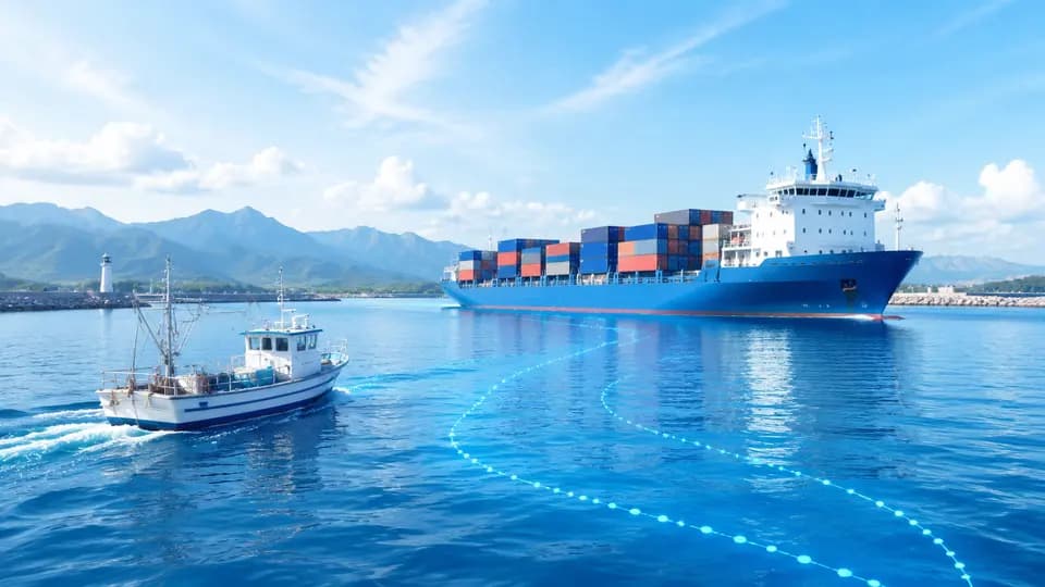
Which water areas are suitable for vessel positioning?
FOFN’s GPS positioning solution for vessels and fishing boats is designed for near-shore fishing vessels, workboats, yachts, port-area vessels, and aquatic asset management. Positioning terminals acquire vessel location data and transmit it to the platform via cellular networks or project-specific communication infrastructure where available—enabling real-time monitoring of vessel position, voyage history, and device status.
What management challenges does it address?
Managers can view current positions, historical routes, and anchorage zones by individual vessel or fleet—and configure electronic geofences for ports, aquaculture zones, operational areas, or other designated waters. Alerts and verification workflows are triggered automatically for events such as departure from port, entry into restricted zones, or abnormal device status—based on preconfigured device and platform settings.
How to select the right device?
Vessels with stable onboard power supply may use wired positioning terminals; for aquatic assets without fixed power, evaluate battery life, charging method, waterproofing/corrosion resistance, and mounting location. Cellular coverage differs significantly between near-shore and offshore environments—offshore deployments require dedicated satellite or alternative communication solutions, confirmed separately per project.
Key Features:
Vessel Position MonitoringView real-time vessel location and related status information where communication connectivity is available.
Voyage PlaybackReview historical routes, stop locations, and operational activities to support daily management and analysis.
Water-Based GeofencingDefine geofences for ports, aquaculture zones, operational areas, or prohibited waters—triggering configurable alerts upon vessel entry or exit.
Departure & Unauthorized Movement AlertsLeverage geofencing and compatible terminals to detect and verify unplanned departures or anomalous movement.
Device & Power StatusMonitor low-battery, offline, or power-related alerts by device model—facilitating timely inspection and maintenance.
Fleet Centralized ManagementConsolidate and view terminal data across vessels, operational zones, or operational teams.